Online (and virtual) training on hydromorphology

Last week was a bit of a first for us and myself. We (the River Restoration Centre) held our first full day online hydromorphological training course with a virtual field work component!
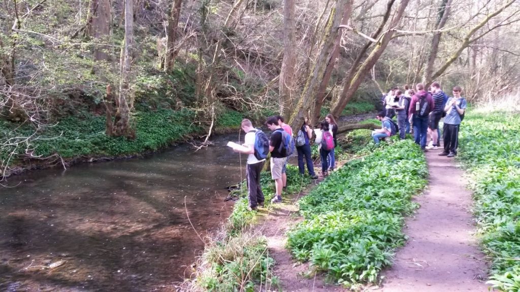
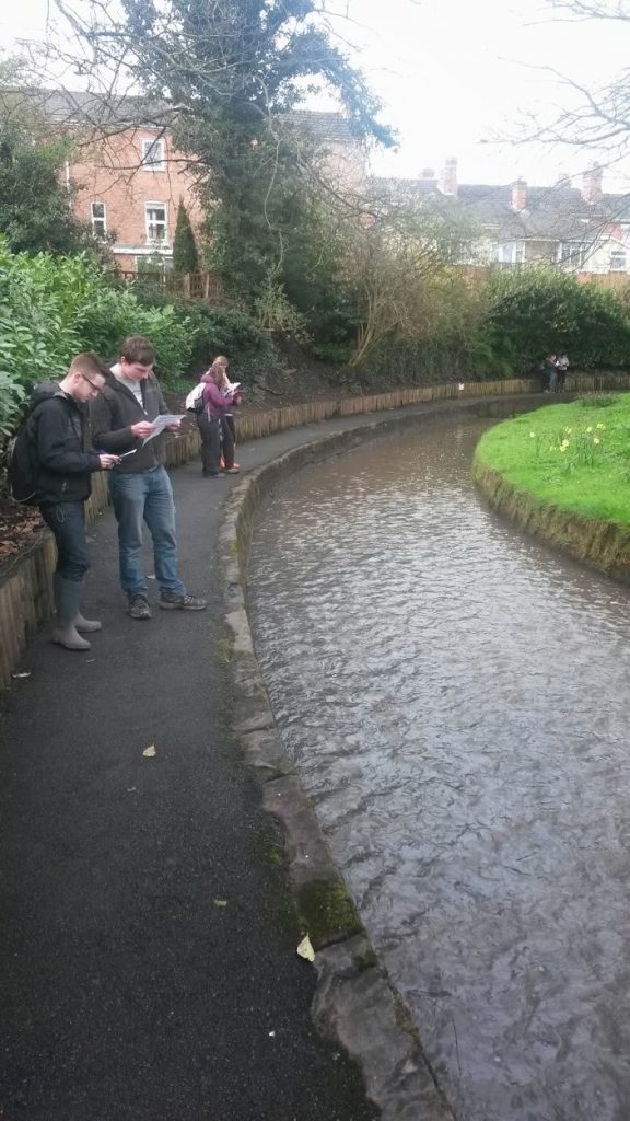
Due to the Covid-19 outbreak, we have been unable to offer our usual series of training courses in person. The challenge here was to develop a course that provide the same kind of experience as the one we normally run that includes a very important field component where participants can directly experience hydromorphological processes and forms as well as pressures and impacts of modifications.


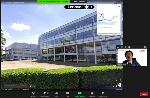
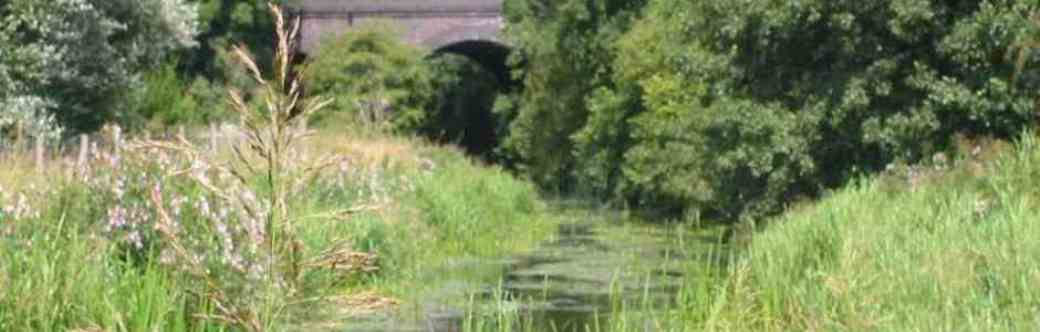
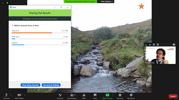
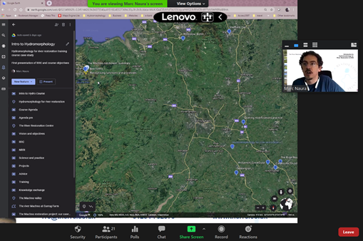
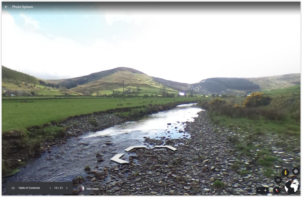
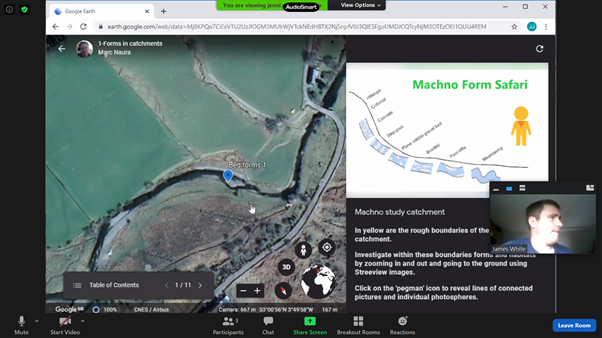
So we have been busy designing new ways of offering the same experience online by adding virtual site visits and even fieldwork. We delivered the Introduction to Hydromorphology (Level 1) training course using a combination of Zoom and Google Earth software. Fifteen delegates joined us on the Zoom call with regular switches to Google Earth and Streetview to demonstrate and experience hydromorphological processes forms and drivers virtually using one of our case study catchment on which we collected a lot of 360 photographs. Polls were set up to ask the delegates questions, and create as much of an interactive session as possible to keep everybody’s attention alive.

The crux of the course was to introduce delegates to a framework for analysing catchment and river processes, forms and how they are influenced by modifications and land management. This was achieved through formal short presentation followed by group work, in pairs, in the air and on virtual ground using Google Earth online, 360⁰ photos, and historic maps.

Delegates worked in pairs through tasks to spot features and modifications, think about processes, and map pressures. Finally, delegates were asked to assess everything we had gone over in the training and offer justified restoration options. This was a great opportunity to go over all the concepts we had been introduced to, and brainstorm ideas.

Feedback from the course has been really encouraging, and we are now looking at adapting the rest of our courses online and run more this Summer and Autumn. We are also considering adapting the River Habitat Survey course, potentially turning the existing presentations that are delivered in a training room into a series of online modules with virtual field work, and organising site visits separately over a few days to practice doing the survey whilst maintaining social distancing rules. We will be in touch with more information soon and we would welcome your suggestions.

In the meantime, please visit the RRC website to view our training events and please email us rrc@therrc.co.uk if you are interested in attending a virtual training course.

Using River Habitat Survey in the Geography Curriculum at the University of Worcester

by Professor Ian Maddock, University of Worcester, January 2020

Third year undergraduate students at the University of Worcester can take an optional module in River Conservation and Management as part of their Geography or Physical Geography degrees. We offer a practical-based degree programme with a strong emphasis on fieldwork and in this module, the practical work is focused around the use of RHS. The first half of the module is largely classroom-based, focusing on new approaches to environmentally-sensitive river management, including river restoration, natural flood management and the application of environmental flows.  Guest speakers from the EA, wildlife trusts, rivers trusts, local authorities and environmental consultancies provide an overview of some of the organisations involved with these topics and give students insights into potential careers relevant to their interests.

copyright Ian Maddock

RHS provides the focus for the 2nd half of the module. Students are familiarised with the field survey methods and features that are assessed in the classroom and then get to trial the software in a PC room with dummy data sets. This allows them to get used to data input and score calculation and explore the impact of altering input fields and assessing the effect on the metrics calculated. They get a feel for what influences the Habitat Quality Assessment (HQA) and the Habitat Modification Score (HMS) and their sensitivity to data input.

This is followed by three weeks of fieldwork using RHS. The first one involves a ‘practice’ survey of a local stream and then straight back into the computer room for data input and metric calculations. Students work in small groups (2s and 3s) and all assess the same reach. Comparing scores between groups and identifying which features were scored differently between them enables a discussion on observer variability and the need for training to help standardise approaches and optimise data quality. In the following two weeks students assess two contrasting sites. One is a largely natural gravel-bed stream in a local nature reserve, with minimal direct human impact and high habitat quality. The second is a contrasting, heavily-modified urban stream dominated by channelisation including weirs, bank and bed reinforcements and channel realignment. For their assignment, students are required to produce a mock consultancy report and use the RHS outputs to 1) assess the current habitat quality and habitat modification, and 2) make recommendations for the implementation of suitable river restoration techniques. The important thing with the latter is they use the breakdown of the HQA and HMS metrics to underpin their recommendations, explicitly acknowledging the output of the RHS survey results to justify the techniques proposed.

RHS provides an ideal field technique for this type of work for many reasons. Students can become proficient in its use relatively quickly, survey times are sufficiently short to enable them to conduct a survey in a 3-4 hour timetable slot, it promotes a discussion about how to identify river habitat features, what features are deemed ecologically relevant and how the differing importance of features is acknowledged by the differential weighting of them towards the calculated metrics, and how habitats have been impacted in the past or can be restored. It also enables a more general discussion on the use of rapid visual assessment methods as a survey protocol compared to more detailed but time consuming quantitative techniques. We plan to trial the new mobile app this forthcoming year which should provide a more convenient way of recording data in the field and uploading it to the PC-based software.

Professor Ian Maddock

Professor of River Science

University of Worcester