Viewing survey data
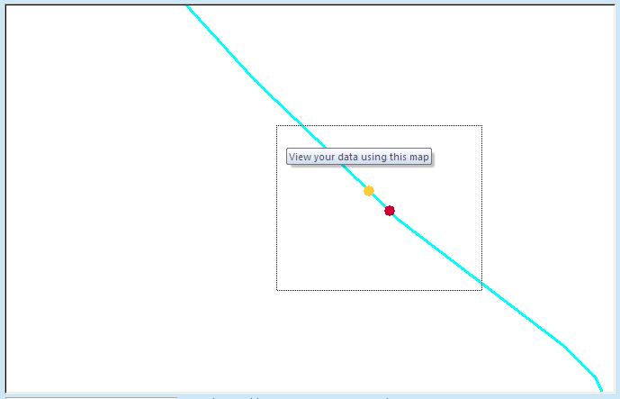
Using the map view, you can also view the data associated with individual sampling points. First, use the  button to zoom to the area of interest.
Check all four sampling points check boxes, then click on the  button and select the sampling points you would like to view by left clicking, holding and dragging a square on the map.
Depending on the points you have selected, different forms will open and display the relevant data.
In the next section, we will have a closer look at the fisheries and River Habitat Survey data forms.