User assessment
ToolHab gives users access to a wide range of data and knowledge to enable the assessment of river reaches for 23 species of fish. Reach assessment is done by using the form on the last tab. This forms contains all the management information that will be used to build catchment wide habitat improvement strategies. Ideally, this form should be filled in after viewing existing data and model outputs. To help users in their decision-making, ToolHab provides access to a wide range of biological and environmental data as well as models and knowledge.
The aim of the whole assessment process is to assess the suitability of river reach habitats for each species:
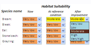
- as they are now;
- as they would be at reference conditions and;
- as they would be following improvement work.
Although ToolHab contains predictive models such as the Fisheries Classification Scheme (FCS) that produce similar predictions, their outputs are not automatically included in the user assessment form and it is the user responsibility to assess fish habitats, identify potential pressures and suggest management action. Indeed, models such as the FCS are often based on sample data collected at specific times of the year over a limited time frame and often fail to account for historical trends and events and may not represent the complexity of relationships observed. It was therefore felt that users should be able to review all existing information and data for a reach including local knowledge, historical surveys and anecdotal evidence before making a full assessment and suggesting management action. This way, scientific models and data, as well as local knowledge and expertise can be combined to develop management strategies based on the best evidence and expertise at hand.
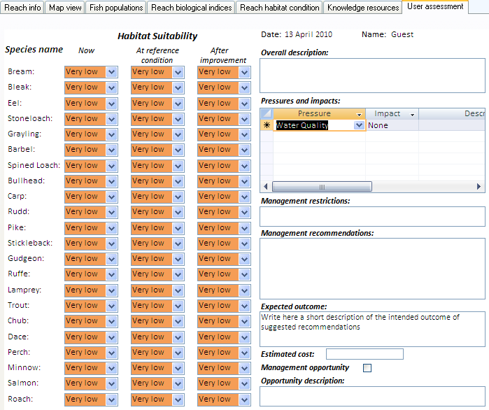
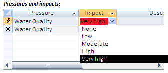
Users can use the drop down boxes to specify the quality of reach habitats for each species using 5 categories and give an assessment of their suspected impacts on reach habitats.
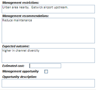
The form also give users the opportunity to enter an overall description of the reach, its conditions, pressures and impacts.
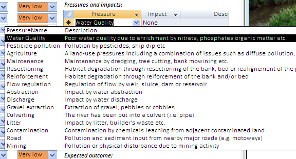
The 'Pressures and impact' box can be used to list all pressures,
Then users can recommend management actions for the reach and give information on potential restrictions (e.g. gas pipe, road etc) and opportunities (e.g. friendly land owner).
The system requires users to give a description of the expected outcome following improvement along with an estimated cost for the works (optional).