RHS is a system for assessing the character and habitat quality of rivers based on their physical structure (Raven et al., 1997, 1998b). It has four distinct components: (i) a standard field survey method; (ii) a computer database, for entering results from survey sites and comparing them with information from other sites; (iii) a suite of methods for assessing habitat quality; and (iv) a system for describing the extent of artificial channel modification.
Habitat quality is determined by the occurrence and diversity of habitat features of known value for wildlife, and is derived by comparing observed features at a site with those recorded at other sites from rivers of similar character. High quality is determined by habitat features occurring at sites in a predominantly unmodified physical state.
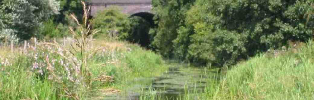
The RHS field method is a systematic collection of data associated with the physical structure of watercourses. Data collection is based on a standard 500 m length of river channel. Map information is collected for each site and includes grid reference (or latitude, longitude), altitude, slope, geology, height of source and distance from source. During the field survey, features of the channel (both in-stream and banks) and adjacent river corridor are recorded. In all, more than 200 compulsory data entries are made at each site, in the form of the presence, absence and (in some case) extent of specific features, collectively building a comprehensive picture of habitat diversity and character (Environment Agency, 1997b). A full description and rationale for the survey method can be found in Fox, et al. (1998). Both the map-derived and field data are computerised, thus allowing easy access to a database, and rapid analysis of the information collected.
Comparing the results from individual data entries established the variation in the recording of features by individual surveyors and this information was used to improve the survey forms, training methods and also to determine the RHS accreditation test (Fox et al., 1998). Channel substrate, habitat features, aquatic vegetation types, the complexity of bank vegetation structure and the type of artificial modification to the channel and banks are all recorded at each of 10 ‘spot-checks’ located at 50 m intervals. The recording format is simple, and a two-letter abbreviation for each feature is used. These abbreviations are included both on the form and a laminated spot-check key, acting as a prompt for the surveyor. A ‘sweep-up’ checklist is also completed to ensure that features and modifications not occurring at the spot-checks are recorded. Cross-section measurements of water and bankfull width, bank height and water depth are made at one representative location to provide information about geomorphological processes acting on the channel. The number of riffles, pools and point bars found in the site is also recorded.
Establishing a baseline of reference sites in the UK
An early requirement for RHS was to establish, for England and Wales in the first instance, a representative baseline sample of river habitat features, collected in a consistent and repeatable fashion. This was achieved by surveying a network of reference sites based on a stratified random sample of those rivers classified for water quality purposes. The RHS reference sites were selected independently of existing chemical and biological sampling points, because the latter are located, for purely practical reasons in a non-random manner (Nixon et al., 1996).
Data from the RHS reference sites now provide, for the first time, a geographically representative sample of habitat features from rivers and streams classified for water quality throughout the UK and Isle of Man. As a result, any 500 m length of river surveyed in the UK using RHS can be categorised and its habitat quality assessed, by comparing it with other sites of similar physical character. As with other UK-based surveys, the Ordnance Survey 10_10 km grid squares were used as a sampling framework (Gibbons et al., 1993). For convenience, however, all coastal squares with less than 50% of land area above high water mark were omitted from the baseline reference sample.
The original focus for RHS development was England and Wales, and a 3-year sampling period was planned. Three individual RHS sites in each of the 1523 qualifying 10 km squares were sampled during 1994–96, one in each square in successive years, giving 4569 sites in all. Rivers indicated on 1:250000 scale topographical maps qualified for inclusion in the network, but tidal reaches and canals were specifically excluded. Sites were located on the basis of random selection of tetrads (2_2 km) within each qualifying 10 km square. The main qualifying criterion was that the watercourse had been classified for water quality, as indicated by the 1985 River Quality Map based on the National Water Council classification (National Water Council, 1981). Where no such classified watercourses existed within a 10 km square, any watercourse qualified. In the three cases in England where a 10 km square did not contain a watercourse shown on the 1:250000 scale map, the 1:50000 scale Ordnance Survey map was used to determine site location.
In 1995–96, Scotland and Northern Ireland sites were added. In Scotland, one site in each of 779 qualifying squares was sampled over a 2 year period in 1995 and 1996. Because some 10 km squares were inaccessible by road, site selection had the added practical requirement of being within 2 km of a vehicle track. In Northern Ireland, one site in each of 133 qualifying squares was sampled in both 1995 and 1996, giving 266 sites in all. To extend the picture, three RHS sites in each of six qualifying squares on the Isle of Man were sampled in 1997. A first report on the state of river habitats was produced in 1998 (see ‘Resource’ section). A second survey in England and Wales was carried out during 2007 and 2008 and summary information, including changes since the original baseline, was published in October 2010 (see ‘Resource’ section).