The River Habitat Survey (RHS) project was initiated at the beginning of the 1990s by the then National Rivers Authority in England and Wales. The aim of the project was to produce a methodology for recording habitat features of importance to wildlife and to provide an assessment of habitat quality along rivers in England and Wales.
For years, water quality and pollution had been the main focus of environmental management. Acid rain, organic inputs, pollution by pesticides and heavy metals had attracted media attention and significant resources had been devoted towards dealing with those issues. Following decades of environmental improvements and pollution control and regulation, water quality started to improve significantly across most of the river network.
Although fish and other species seemed to benefit from improved water quality, recolonisation by native species was not consistent across the river network. It was thought at the time that other limiting factors may be influencing ecosystem recovery. The quality of riverine habitats and the impact of man-made engineering structures and land use on the physical diversity of streams were identified as potential limitations to species distribution and survival.
The River Habitat Survey project was initiated to investigate the state of UK rivers physical diversity and the potential impacts of human activity on habitat and species. A project group consisting of geomorphologists, ecologists, statisticians and experienced environmental managers was put together to design a survey methodology and implement it across England and Wales.
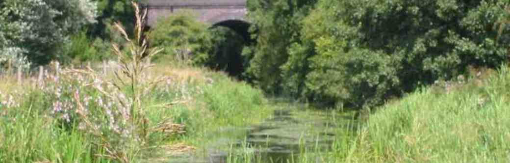
The overall idea was to try to capture in a quantitative or semiquantitative way the physical diversity of rivers. The survey methodology was based on fluvial geomorphology and ecology. The focus of the survey methodology was not provide an inventory of features specifically linked to known species but to record forms and habitats that are the results of natural geomorphological and biological processes. The survey was applied to more than 24,000 sites in the UK and abroad.
A lot of effort was put into designing a reliable, objective and replicable survey methodology. Statisticians were involved both in the design of the survey methodology, sampling strategy and data analyses. Methods for recording features were tested in the field using experienced ecologists and were tested using statistical analyses. As a result, five version of the survey methodology were produced in 1994, 95, 96, 97 and 2003. Although the last four iteration of the survey methodology did not vary very significantly, there are differences between each years of survey in the way features were defined and recorded. In 1996, a training course and accreditation scheme was introduced to improve consistency between surveyors and maintain high levels of survey quality.
The River Habitat Survey project thus represents nearly 2 decades of Research and Development work with at its heart a strong focus on output quality, reliability and consistency. The River Habitat Survey manual was translated in several languages and tested on rivers in Europe and further abroad. The RHS team was involved in writing a European standard for assessing the hydromorphological features of rivers (2004) and RHS is one of several recognised methodologies for the implementation of the European Water Framework Directive.
With the development of cross national surveys, there is now an opportunity to share resources, surveys and knowledge and use wide-ranging geographical datasets to study the impacts of human activities and climate change on habitats and species across ecosystems. This website is aimed at bringing together the community of researchers, environmental managers and practitioners to improve awareness and knowledge on species and habitats and their links to catchment processes and human activity.